Existing Conditions
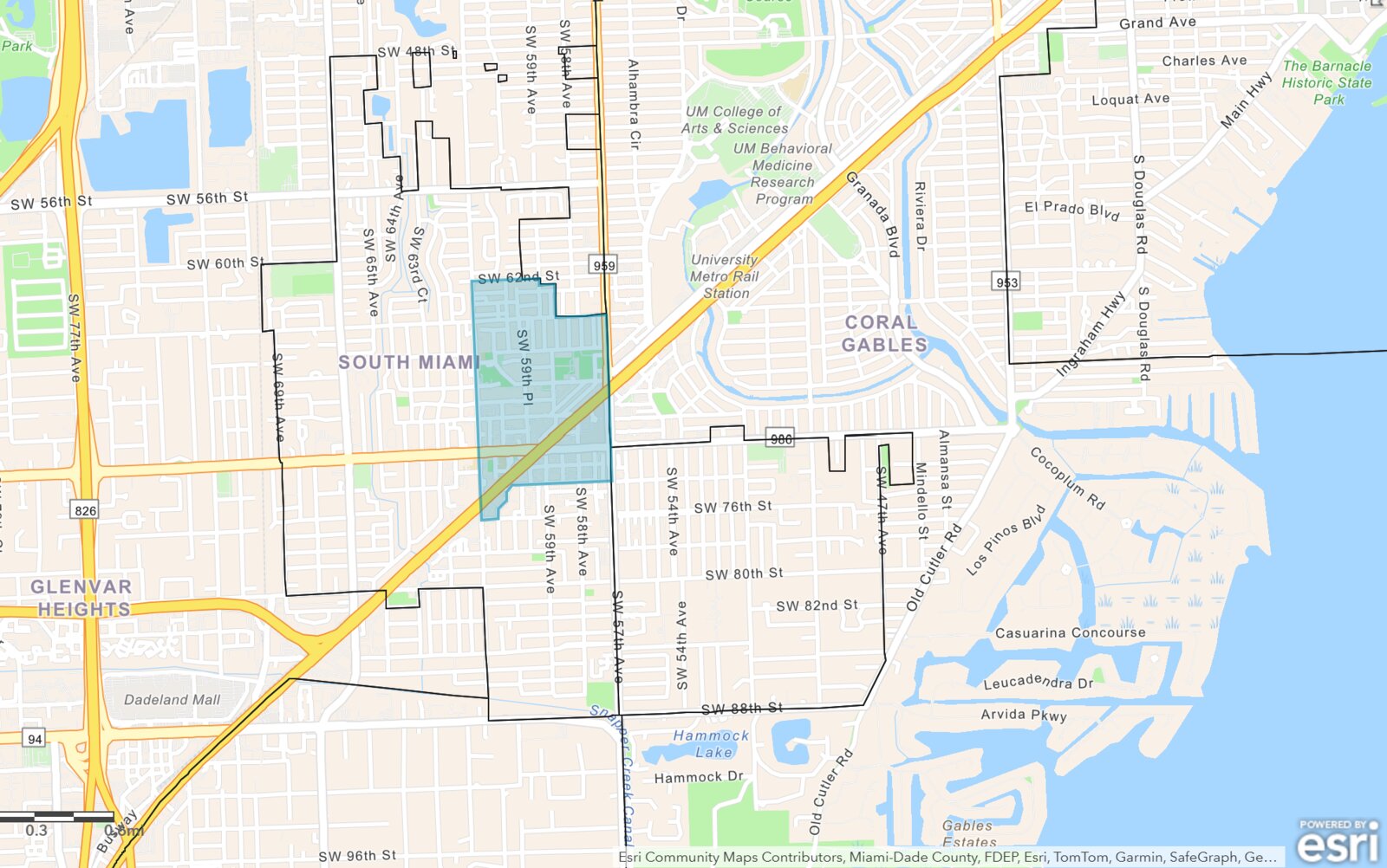
The physical, economic, and regulatory baseline of the ~238-acre study area — the foundation the CRA Plan is built on. Delivered
A high-income, transit-rich district with pockets of disinvestment
South Miami pairs above-average incomes and a Metrorail-anchored downtown with aging housing, elevated commercial vacancy on Sunset Drive and U.S. 1, and concentrated code and safety concerns in parts of the district. The CRA is the tool to direct reinvestment where it’s needed while protecting long-standing residents and businesses.
Location & connectivity: the ~238-acre area is anchored by the South Miami Metrorail Station and sits directly in the path of The Underline Phase 3, a 10-mile linear park and mobility corridor beneath the Metrorail, with high-traffic access along Sunset Drive and U.S. 1 (S. Dixie Highway).
Zoning & land use: most of the area is within the Transit Supportive Development District (TSDD) and the Hometown District Overlay, encouraging walkable, higher-density, mixed-use infill near transit — including the Downtown SoMi designation over the ~10-acre Sunset Place tract, the largest contiguous development site in the City.
Redevelopment momentum: the district is seeing significant investment — $300M+ tied to City Hall redevelopment, and major projects including Avalon, the Shops at Sunset Place transformation, and SoMi Parc (578 mixed-income units planned).